

Four Creeks Unincorporated Area Council
The Atlas Program brings Atlas-type maps and information to the community
preamble

colCenter
Description
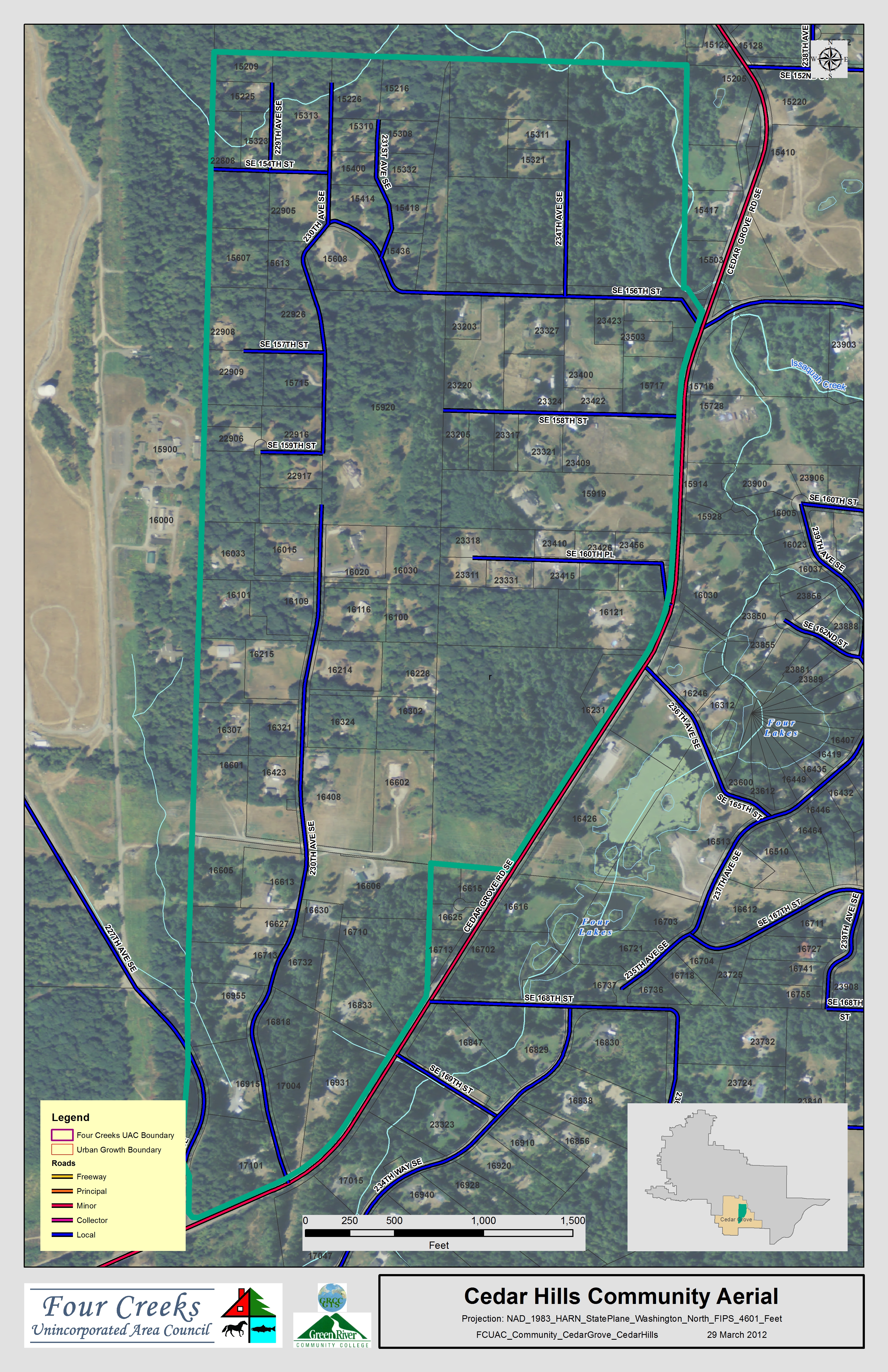
- MapName: FCUAC_Community_CedarGrove_CedarHills_aerial
- Description: Cedar Hills with aerial background
- Area: Cedar Grove
- Group: Community
- Subgroup: Area
- Community: Cedar Hills
- Neighborhood:
- Block:
- Author: Tom Carpenter
- Circa: 2012-03-17
- Status: Y
- Notes: Base map update
- Orientation: Landscape
- Size: 11x17
- Scale:
- BasedOn:
- OnBaseMap:
- Projection: NAD_1983_HARN_StatePlane_Washington_North_FIPS_4601_Feet
- Location:
- DispSeq: 4
- MapID: 29
Downloads
- Be patient. Can be large files.
- Print 11x17 or smaller 300 dpi pdf
- Print 24" wide 700 dpi pdf
- Print 11x17 or smaller 300 dpi jpg
- Screen display 72 dpi jpg