

Atlas Program Images
Four Creeks Unincorporated Area Council
FCUAC Atlas Base Maps
Basemaps, as their name implies, are the "base" for map layers. A final map includes a base and one or more "theme" layers placed on top.
Basemaps tend to include the most "persistent" information on a map (the canvas or template.)
2004 UAC Reference map
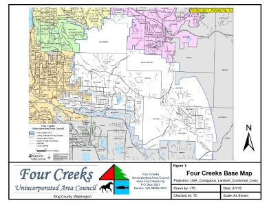
FCUAC_8x11_Portrait_Fig_1c
This map is a working chart used to determine page layout. The 2004 UAC map (produced by King County) was used as a spaceholder.
On that map by the shape of the east boundary of the Tiger Mtn. and Hutchinson precincts was in error in 2004, a condition being corrected in Atlas.
The color scheme, fonts and detail make it a target for one of the Atlas base maps.
This is an interesting layout for things like boundaries where an individual map may not be necessary.

FCUAC_Boundary_Maps_11x17
This 2x3 template is a good base for summarizing boundaries whether or not a full size image is included in the atlas. Good candidates include the Legislative Districts, KC Council Districts, KC Court Districts, along with Congressional Districts and other high-level boundaries.
The base elements include the legend, the background fill, and the image frames.
Base map samples

FCUAC_GDB_Base1
This chart is one of a number of "base" map samples. Base maps, once decided, allow other layers on top.
In this case the experiment was with hill shading.

FCUAC_GDB_Base2
Another "base" map sample.

FCUAC_GDB_Base3
Another "base" sample

FCUAC_GDB_Base3b
Another "base" sample

FCUAC_GDB_Base3c
Another "base" sample

FCUAC_GDB_Base4
Another "base" sample

FCUAC_GDB_Base5
Another "base" sample
UAC aerial map
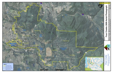
FCUAC_GDB_2009_Aerial3
UAC boundaries overlaying a 2009 aerial photo.
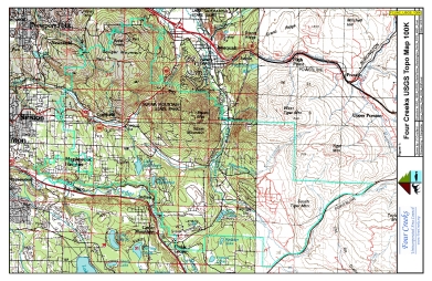
USGS maps
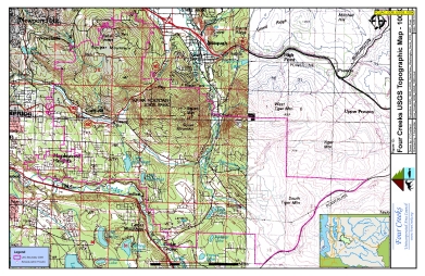
FCUAC_GDB_USGS_100k
USGS 100k sample

FCUAC_GDB_USGS_1x2
USGS 1x2 sample
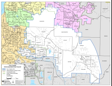
FCUAC_Precinct_2008-06-19
King County produced UAC precinct map. Used as a reference.

FCUAC_Test_GDB_basemap-green
A basemap sample

FCUAC_Test_GDB_basemap-white
Base map sample

FCUAC_Test_GDB_basemap-white_alternate
????

FCUAC_Test_GDB_basemap-white_alternate_relief
A base map sample

FCUAC_Test_GDB_basemap-white_deleted_hatch
Basemap sample

FCUAC_Test_GDB_basemap-white_relief2
????

FCUAC_Test_GDB_Forest_Cover2
Forest cover

FCUAC_Test_GDB_WIP
????

FCUAC_Test_GDB_WIP_hillshade
?????

FCUAC_Test_GDB_WIP2
????
FCUAC_USGS_100K
????
colLeft
colCenter
colRight